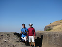
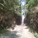
I love my state, Maharashtra. Recently had been to this lovely little trek (only 2 hours for climbing) of Ratangad, BUT … BUT a very long way to the base village, Ratanwadi.
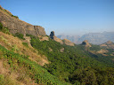
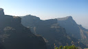
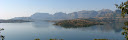
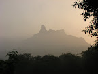
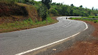
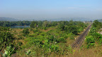
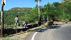
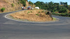
The path to Ratangad was showered with the lovely hills, mountains en-route through one of the loveliest lakes in India, The Bhandardara lake (Wilson Dam). The road winds through the Igatpuri range, first roaming around some of the virgin hills and then through the emperors, starting with Kalsubai. The pinnacle with a small hump at the very top, a very distinguishable feature, keeps overlooking your ride/drive right till you climb Ratangad.
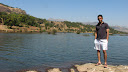
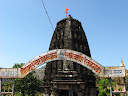
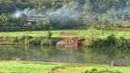
The base of the mountain, Ratanwadi is a small village of not more than 200 dwellers. It has an ancient temple, Amruteshwar along the banks of the Bhandardara lake. The village itself is on the opposite end of the Dam, hence about 1/2 hrs boat ride from the dam or 20km of ride from the Dam. The lake at the village provides with perennial water supply and free natural swimming pool unmatched in its beauty, surrounded with peaks of Kalsubai, Ratangad.
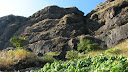
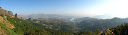
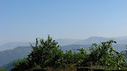
From the top of Ratangad, one can view the adjacent magnificence of the Sahyadri Range, next to Kalsubai are Alang, Madan, Kulang mountains (one of the difficult climbing routes – for guys like us). On the otherside is the intimidating “Ajoba”
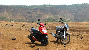
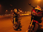
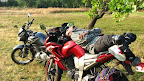
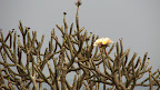
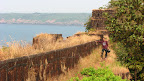
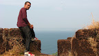
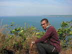
Ratangad Pics

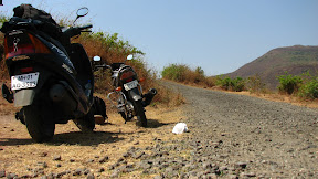
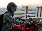
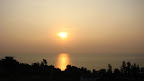
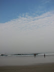
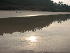
More Ratangad Pictures
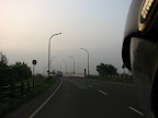
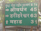
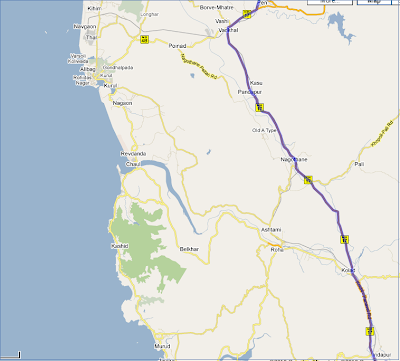
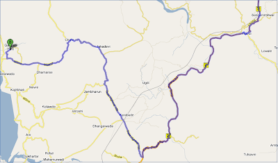
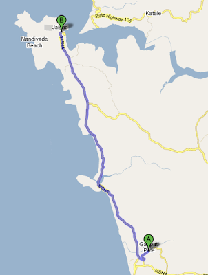
Travelling Directions
- Get to Igatpuri Station (Central Railway)
- An early morning bus to Bhandardara (around 5.00am)
- Boat ride to Ratanwadi